Thermal Image Analysis for Wildfire Drone Operations


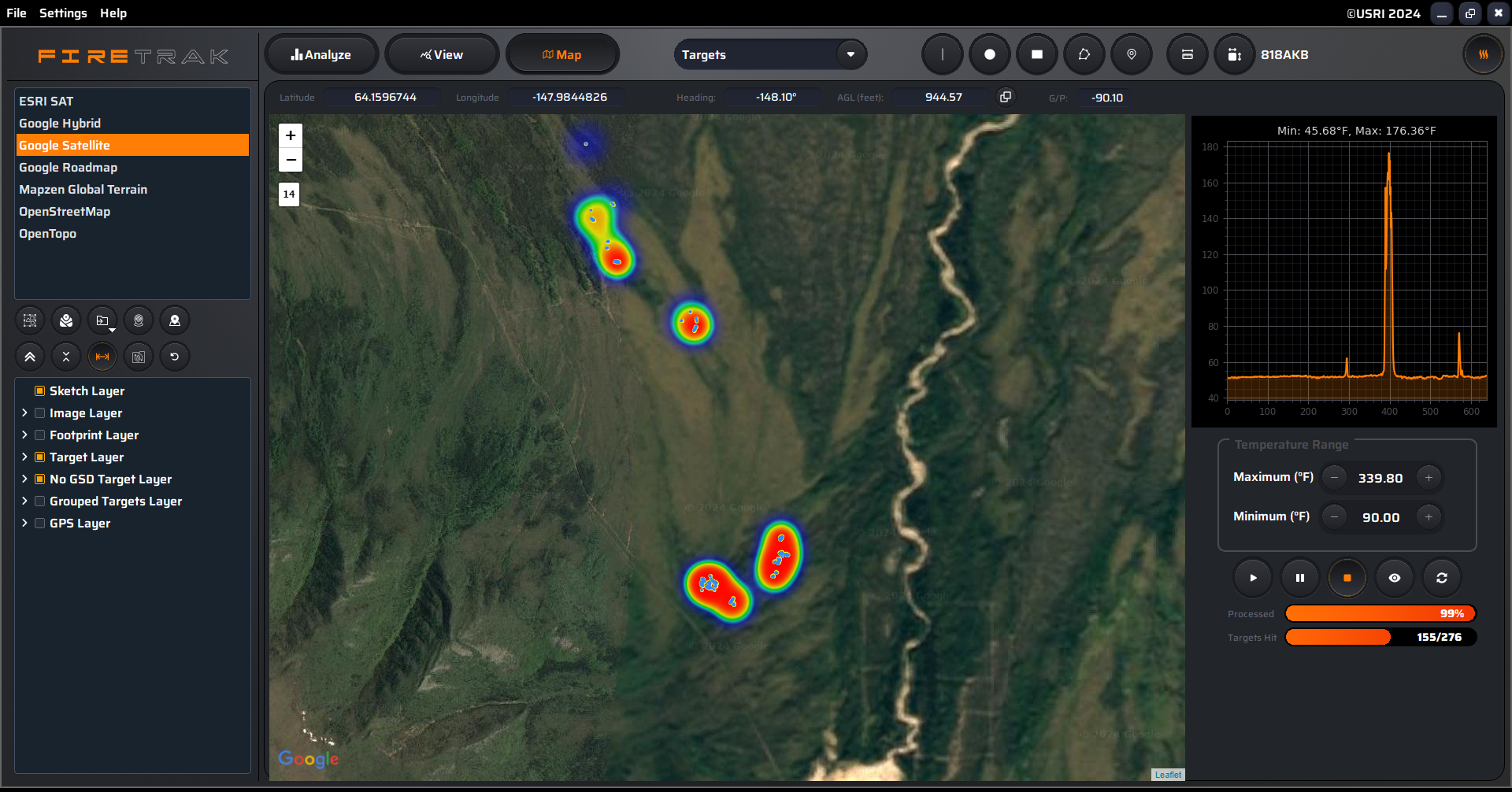
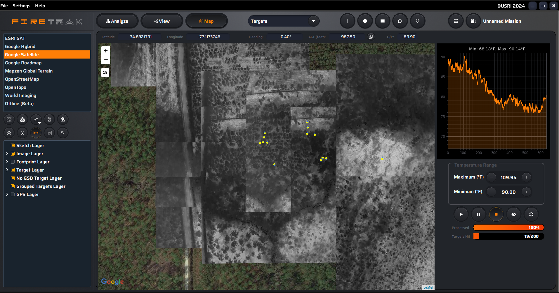
Analyze, Detect, and Geolocate wildfire hotspots and fire perimeters with FireTrak


Analyze, Detect, and Geolocate wildfire hotspots and fire perimeters with FireTrak
FireTrak helps emergency responders, governments, environmental groups, academics, and industry map and learn about wildfires using the latest in drone technology.
Secure, reliable local processing. No uploading to servers, no internet or network connections required.
Quantitative, scientific data analysis for accurate, reliable and consistent results.
Geolocate individual and collective group targets quickly and reliably on your laptop in the field.
GIS Export formats include QGIS, CSV and KML files compatible with most Provincial, State and Federal agencies worldwide.
Locate the closest FireTrak Partners with our directory.
Connect with one of our authorized partners for training and trial licenses.

FireTrak will Analyze, Detect, and Geolocate wildfire hotspots and fire perimeters utilizing your Radiometric Thermal Imaging. This is combined with multiple export layer options which provide State, Provincial, and Federal agency level data compatibility worldwide.

We’ve all experienced it – the closer you are to a heat...

FireTrak Target Heatmaps are visual representations of location data that use color...

FireTrak is currently deployed with our good friends at Nucleo Operativo Aereo...

Warsaw Poland, July 8, 2024 Customer Testimonial “The program for analyzing thermal...

Loc8 receives a nice small mention in this article. Lots of very interesting...

FireTrack and RDT G2 will both be updated to include this new...
Subscribe for the latest information on FireTrak.
Stay up to date with the latest news from FireTrak by connecting with us on Facebook, X, and YouTube.